With the cold and rainy weather approaching I’ve decided to make a conscious effort to get as much hiking in as I can. One of the hikes at the top of my list was Indian Point. An 8 mile hike gaining 2400 feet in the Columbia River Gorge sounded like a nice day hike that wouldn’t beat me up too much.
The views at the top of the hike are described as “possibly the most dizzying views of the gorge.” My mom got mad at me for my last post for not warning her of a snake picture… so for this post, if you have trouble looking at pictures from high up, maybe don’t enlarge them.
The trail itself was full of green. I didn’t see a single person on my hike, or even a single animal on the ground (saw a few birds).

More green

The trail was an uphill crawl pretty much the whole way. Every now and then the trees would clear to let you see how much you’ve climbed. Just enough to boost morale.

A bit higher… and yeah that’s my thumb, I’m awesome with cameras

And now the fun part. There’s a reason for my asterisk next to my 8.
First, I decided to NOT use my phone to track my hike this time. It failed in the middle of our short 2 mile hike and eats my battery quick enough to render it useless by the end of the hike. I do, however, have a watch that helps me guess about how far I’ve walked.
My instructions for my turn to Indian Creek are literally:
“About 50 yards on the Gorton Creek Trail past the Ridge Cutoff, notice an unmarked side path that leads down through the woods to the rim of the gorge. Follow this 0.1 of a mile to the base of Indian Point, which is a 30-foot-tall block of basalt.”
First, the “Ridge Cutoff” is a trail that meets up that is hidden by weeds. I found this out on my way back. Second, an unmarked side path is hard to spot. Maybe at least tell me which side of the trail it’s on? So I was basically looking for a spot that was close enough to the edge that could hold this “block of basalt.”
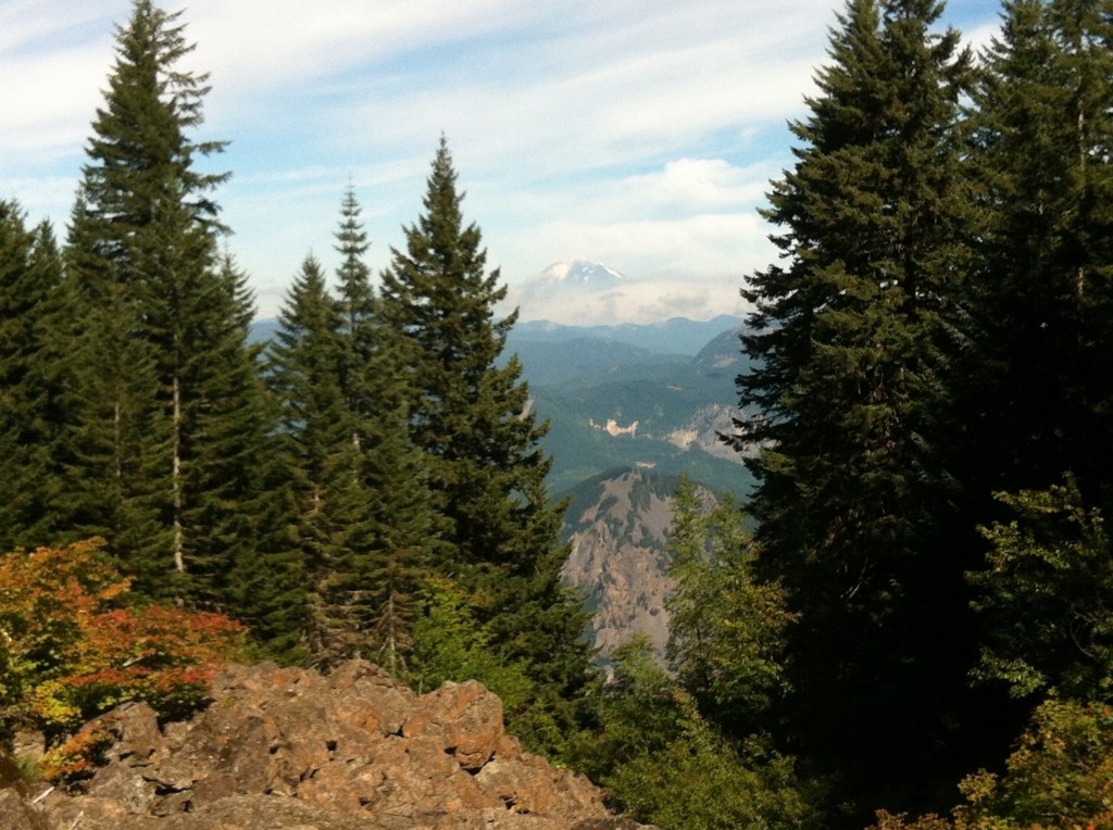
Well, I managed to miss the “unmarked trail” by 3.5 miles (I only know because I started my phone mapper after turning around just to see). It started with getting to the top of the hill I was hiking up, then maybe it’s the next one, then maybe it’s the next one. I honestly should have turned around a lot quicker but it was a fun hike and I was still enjoying myself. Plus, I got views like this one. I’m pretty sure that’s Mount Adams in the background. I still have to look it up.

So after turning around, I thought I’d look out for that old Indian Point one more time just in case. Turns out, after hiking 1600 feet down, I found it after all. And they were certainly right about the dizzying view. Not only was it high up, but the “trail” was maybe 6 feet wide with a cliff on both sides and the wind was gusting. As the description jokingly put it:
If you fell, you could very well land on a big rig bound for Eastern Oregon a half-mile below.
Indian Point:

And the amazing view that made it all worth it

So ends the 8 mile hike that became 15 miles. Worth it. Thanks Indian Point, I had fun.

Leave A Reply